Location Route
Sikar district is a district of the Indian state Rajasthan in western India. The town Sikar is the district headquarters of the Sikar district.
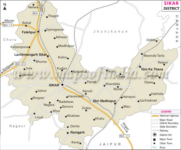 The district is located in the north-eastern part of the state of Rajasthan. It is bounded on the north by Jhunjhunu district, in the north-west by Churu district, in the south-west by Nagaur district and in the south-east by Jaipur district. It also touches Mahendragarh district of Haryana on its north-east corner. The district has an area of 7742.44 km² and a population of 26,77,737 (2011 census). Sikar, Churu district and Jhunjhunu district's comprise the Shekhawati region of Rajasthan. The old name of Sikar was "Veer Bhan Ka Bas".